Washington County Durham
HOME WHAT'S WHERE (2/2) EXACT COLLIERY LOCATIONS MINING COLLECTION 2
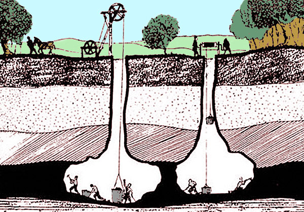
Memories of Mining
Major Local Colliery Locations (1/2)
MAJOR LOCAL COAL MINES
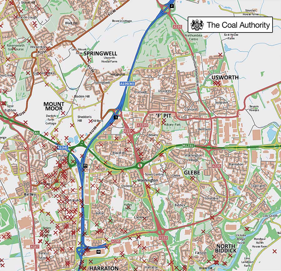
COAL AUTHORITY MAP - MINE ENTRANCES
( IN & AROUND WASHINGTON )
The Red Crosses represent known Mine Entrances
including 'Bell Pits' from many years ago.
Major Mines on above Map
Harraton, Mount Moor, North Biddick, Springwell, Usworth, Washington 'F' & Washington Glebe.
• • ◊ • •
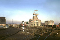
Major Local Coal Mines
Springwell Colliery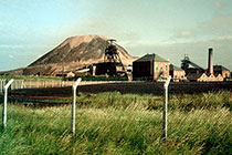
Washington 'F' Colliery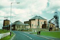
Usworth Colliery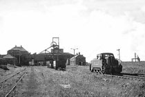
Follingsby Colliery
Washington Glebe Colliery
North Biddick Colliery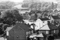
Chartershaugh Colliery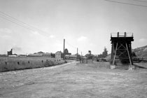
Harraton Colliery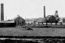
Mount Moor Colliery
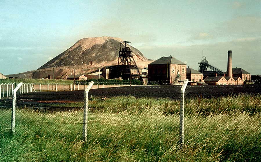
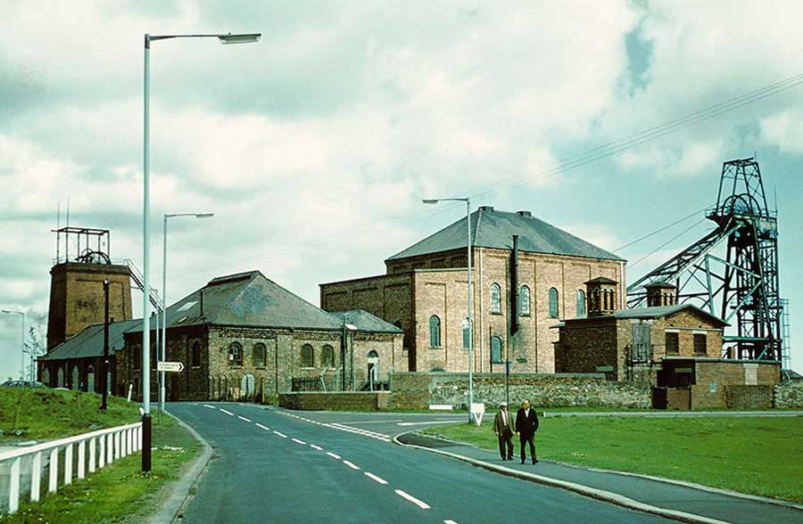
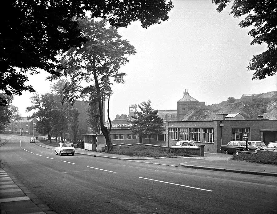
Maps & Images to help you identify the Exact Location of each Colliery
Go to: Top Menu - (2/2) EXACT COLLIERY LOCATIONS
• • ◊ • •
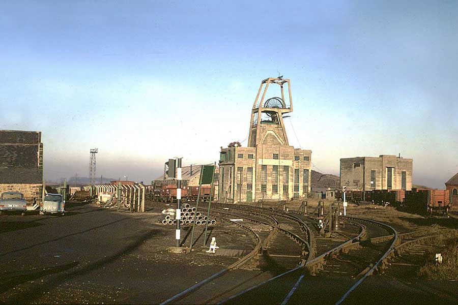
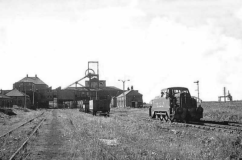
'USWORTH - FOLLINGSBY - WARDLEY' INTERCONNECTED MINES
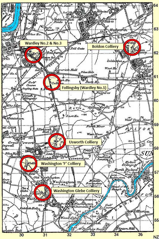
Usworth coal was transported underground by Electric Battery Locos to Follingsby
where it was raised to the surface and washed in the Coal Preparation Plant.
Usworth & Wardley/Follingsby had their own Management Teams.