Washington County Durham
HOME WHAT'S WHERE ANOTHER STROLL
Memories of New Washington
Manor Road
A Stroll Along
Manor Road
( The New Inn to Saint Michael's Church )
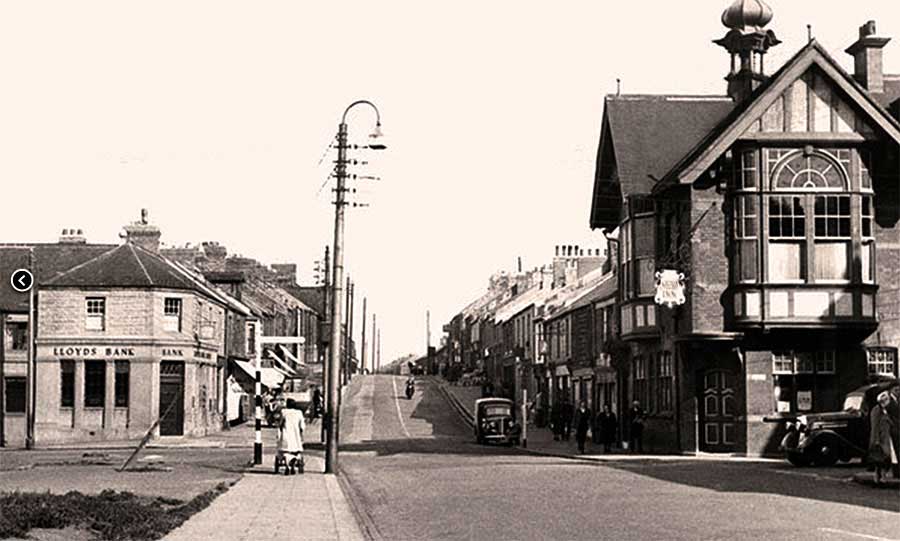
Front Street from Victoria Road
Lloyd's Bank (Dental Surgery above) - The New Inn Corner c.1955
Usworth Station straight ahead. Turn left at Lloyd's Bank to enter Manor Road.
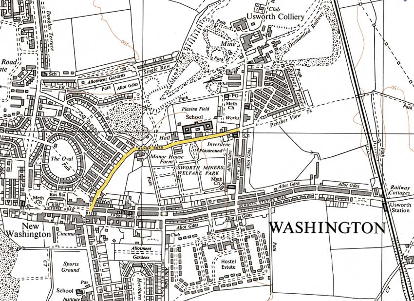
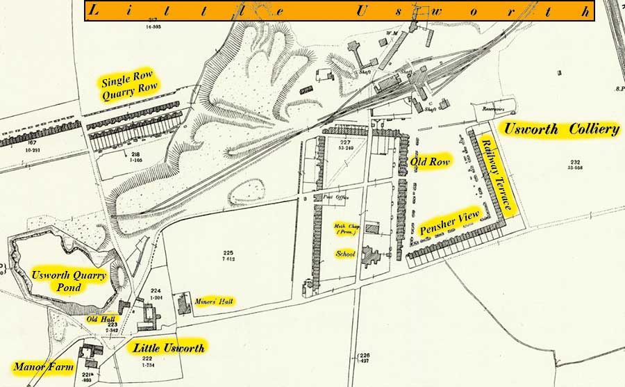
Map of Manor Road
( 1951 )
[ Note the large Field, opposite Richardson Terrace, sloping up to the Path from Manor House Farm to The Style Inn. ]
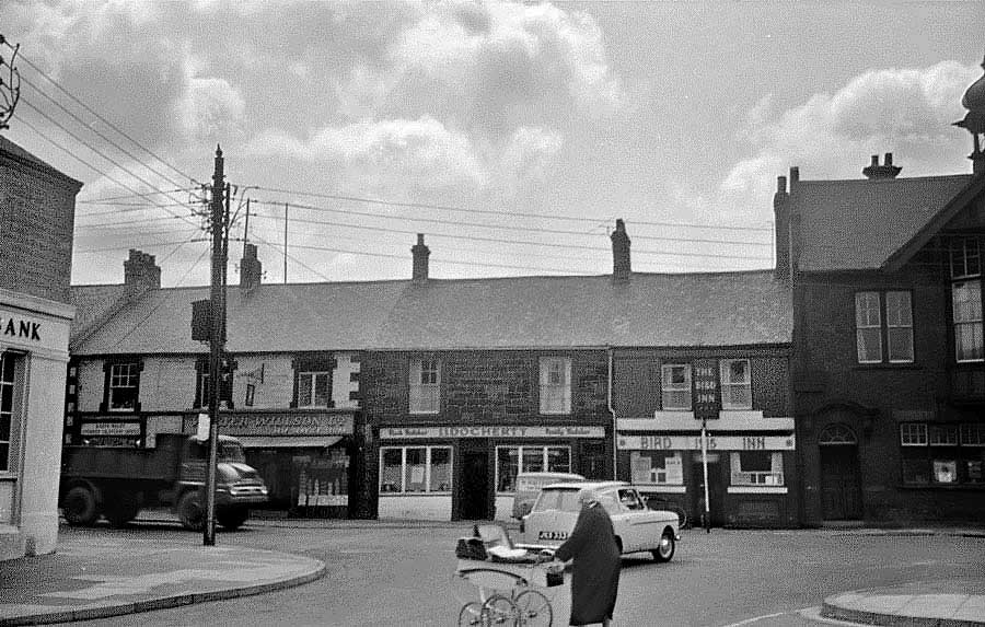
Looking back from Entrance to Manor Road
Walter Willson, groceries - J.J. Docherty, butcher - The Bird Inn - The New Inn
Lloyd's Bank (left), Dental Surgery upstairs.
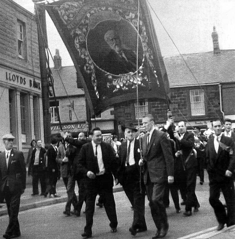
Usworth Lodge Banner and Colliery Band entering Manor Road
en route to Usworth Miners' Welfare Hall.
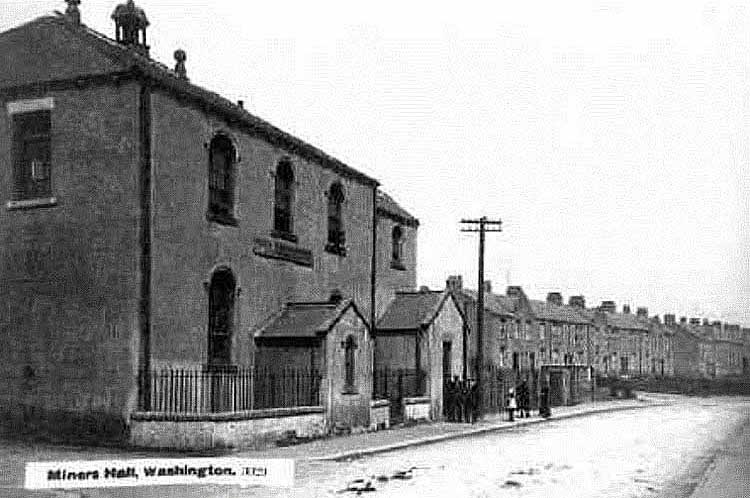
Manor Road - Richardson Terrace
This large building became Washington Masonic Hall.
[ Could this Hall have previously been a Miners' Hall? ]
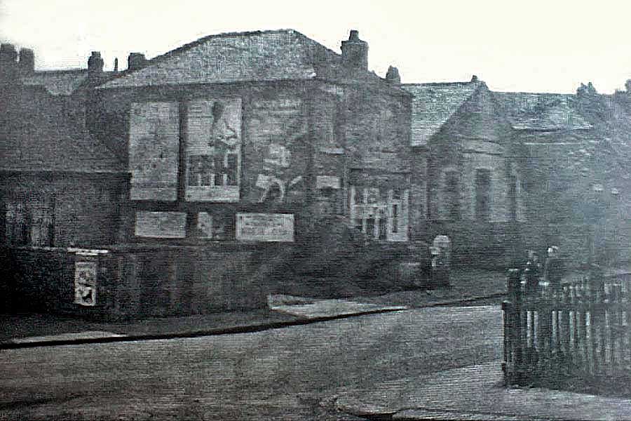
Looking Back:
Ginny Bone's Shop viewed from opposite Nicholson's Newsagents.
[ Note the Chapel, opposite the Masonic Hall. ]
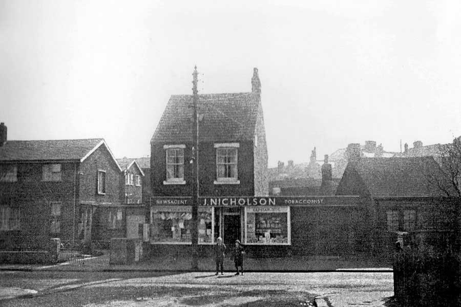
Nicholson's 'Paper Shop' on Manor Road.
Ginny Bone's, just off-picture, right.
Manor Park Estate (left) covered the best Children's Sledging Field in Washington.
We called it Barley Dunn's Field and it was part of Manor House Farm.
[ See 1951 Map above. ]
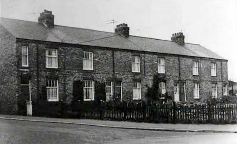
Junction with Tyne Gardens - Usworth end of Richardson Terrace
Road down to Single Row - Manor Road, top of Bank
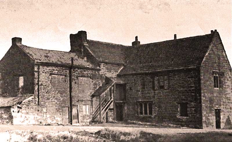
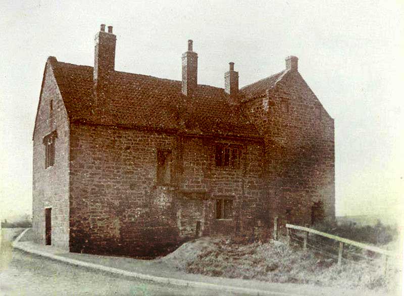
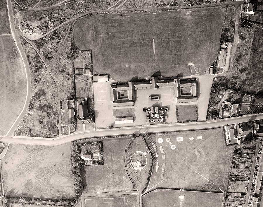
The other side of Manor House as seen from Manor Road
Usworth Manor House
MANOR HOUSE & MANOR HOUSE FARM
The Manor House is referred to as Old Hall.
Usworth Miners' Welfare Hall
Manor Road
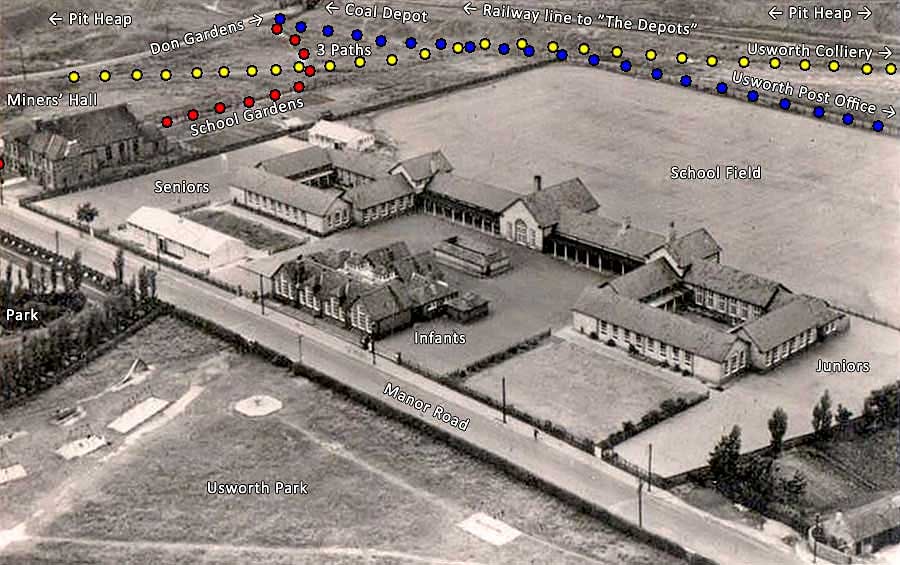
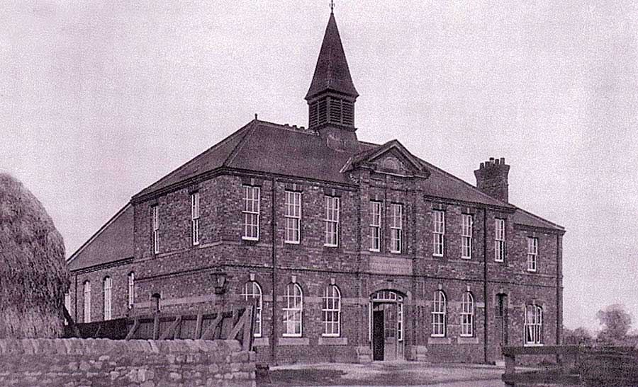
Usworth Miners' Hall & Usworth School
Manor Road
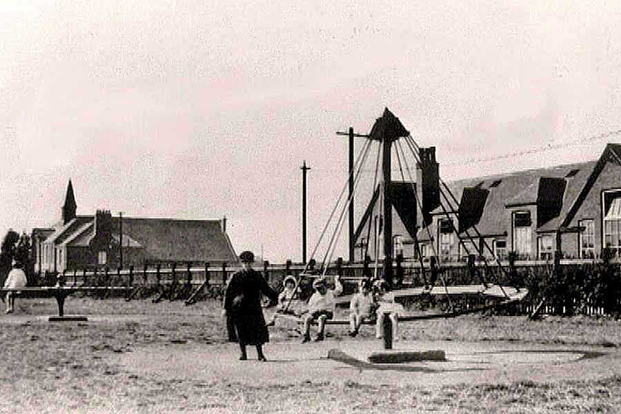
Usworth Park Playground on Manor Road.
Usworth Miners' Welfare Hall (left) - Usworth Colliery Mixed School (right)
Manor Road running from former site of Manor House ( NW corner of junction with road to Single Row )
to its end at St. Michaels Church ( last building where Manor Road meets Edith Avenue ).
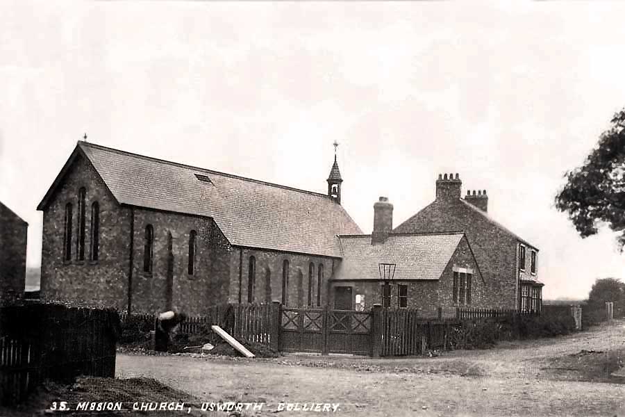
Saint Michael's And All Angels - formerly The Mission Church.
Manor Road ends at the junction with Edith Avenue (left) and Waterloo Road (right).
[ Straight up the bank to The New Inn ]