Washington County Durham
HOME WHAT'S WHERE THEN & NOW
Memories of Fatfield
Castle Street / Washington Highway
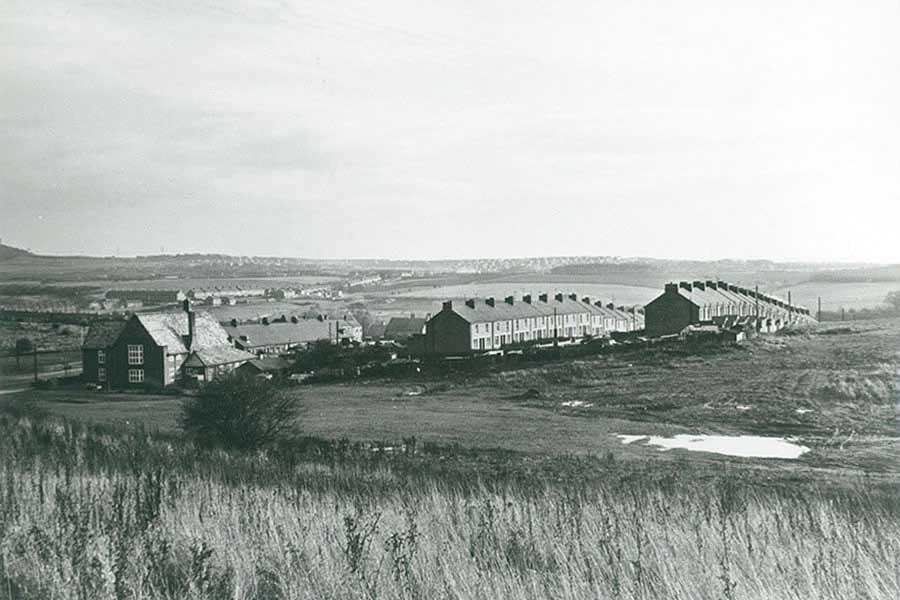
Castle Street, Fatfield
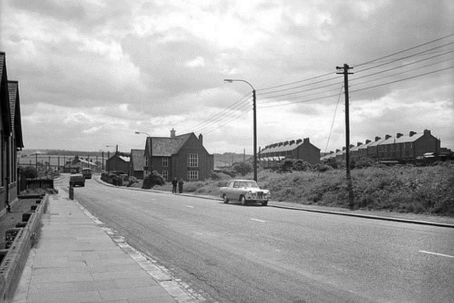
THEN
Fatfield School - Bonemill Lane - Harraton Community Centre ( Cotia Miners' Welfare Hall ) - Castle Street
• • ◊ • •
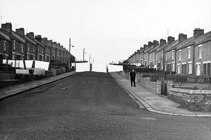
The Last Days of Castle Street
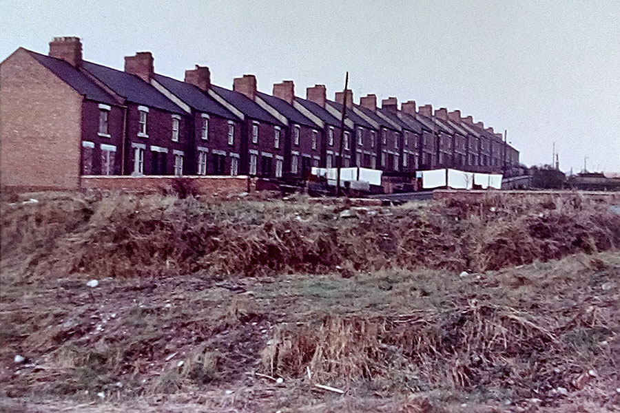
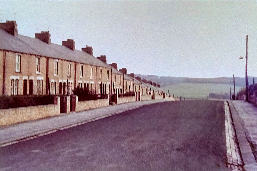
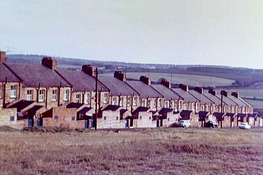
THEN
[ Thanks to Photographer Adrian Lupton for contributing the above Castle Street pictures. ]
• • ◊ • •
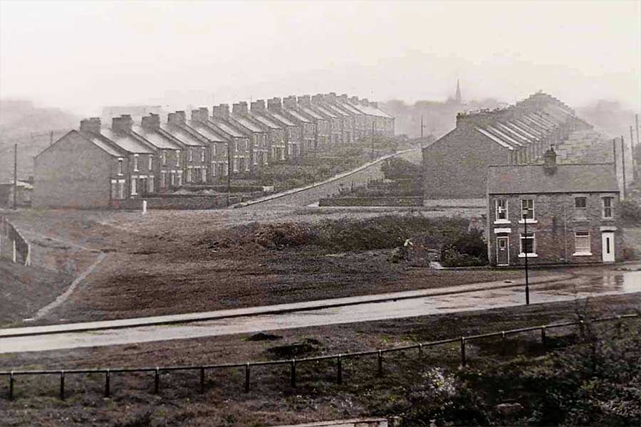
Click to Enlarge
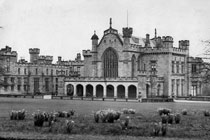
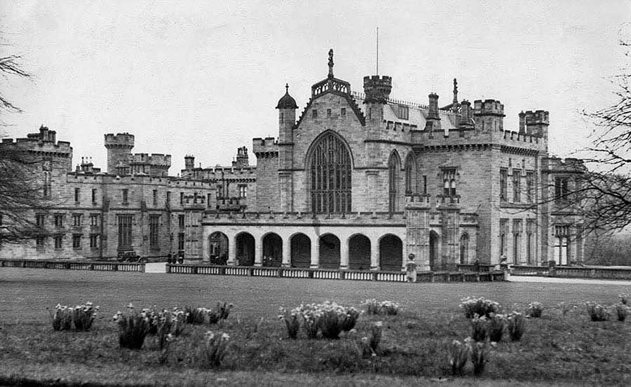
Lambton Castle - 1930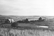
Cotia Welfare Hall
Another Washing Day!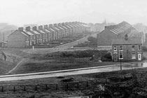
Saint George's Church
• • ◊ • •
Map Showing Castle Street
( 1955-61 )
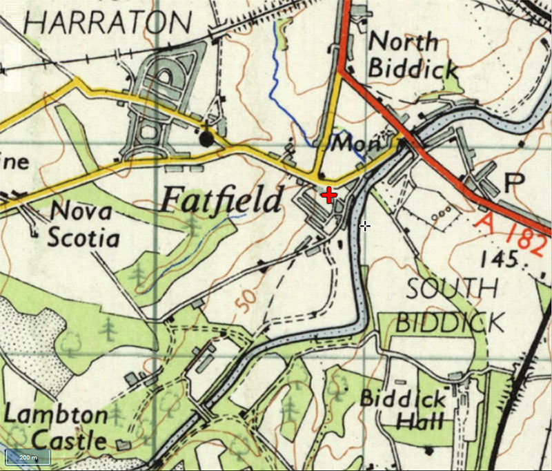
O.S. 7th Series
The Red Cross locates Biddick Lane Junction & Castle Street.
Note the location of Lambton Castle.
• • ◊ • •
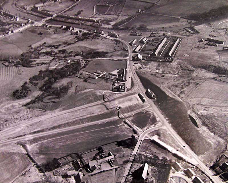
Castle Street & Washington Highway
Biddick Lane / Bonemill Lane Junction & Fatfield Bridge. Lambton Castle is off-picture, bottom-right.
Aerial View - Google Earth, ( 2018 )
NOW
• • ◊ • •
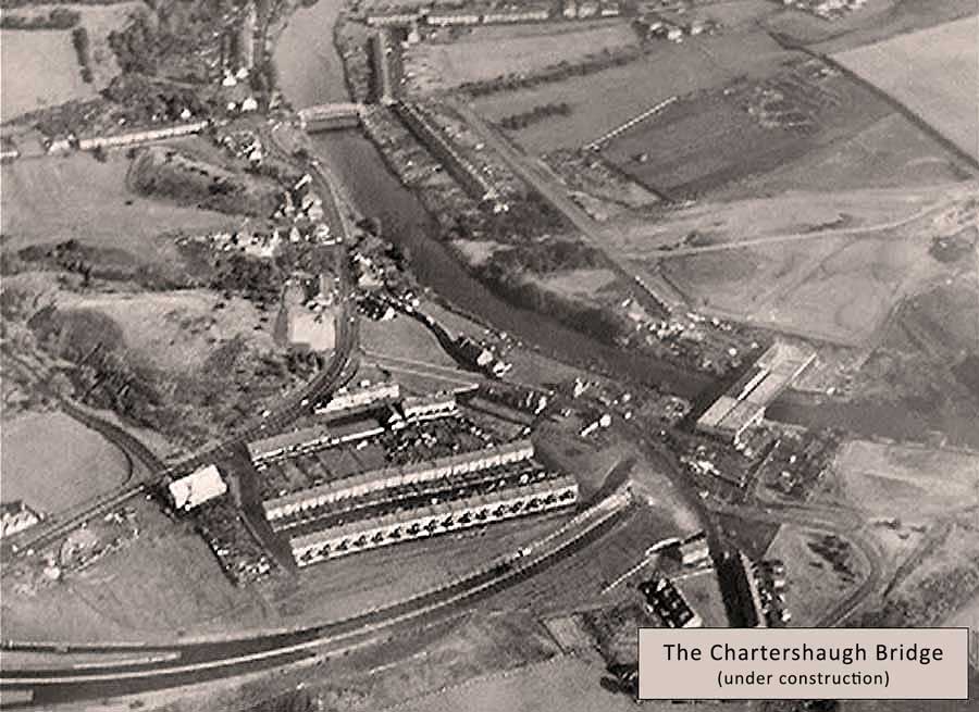
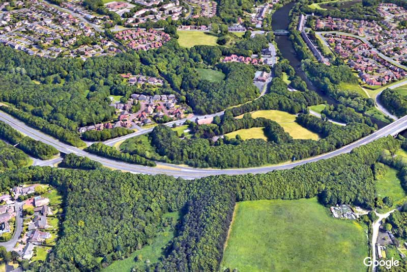
Washington Highway - Bridge over Bonemill Lane
Construction of Washington Highway Bridge over Bonemill Lane.
Saint George's Church - Fatfield School - Biddick Lane - Community Centre - Riverside Pubs - Fatfield Bridge
Aerial View - Google Earth, ( 2018 )
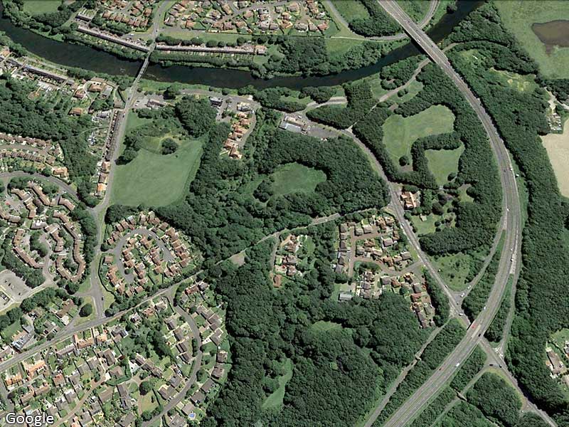
NOW
Can you locate the former Castle Street?